

The Riyadh metro map is a useful starting point for planning a trip across the city, but the route details here focus on Line 2 and At Takhassussi Station. You can use the station order to follow that line, identify its connection to the Blue Line, and plan a journey toward Airport T1–2.
- At Takhassussi is on Line 2, also called the Red Line.
- Line 2 runs between King Saud University and King Fahad Sport City.
- At Takhassussi connects to the Blue Line at stc, one stop east.
- A trip from At Takhassussi to Airport T1–2 is estimated at 62-minute with two changes.
Prices and times checked November 2026.
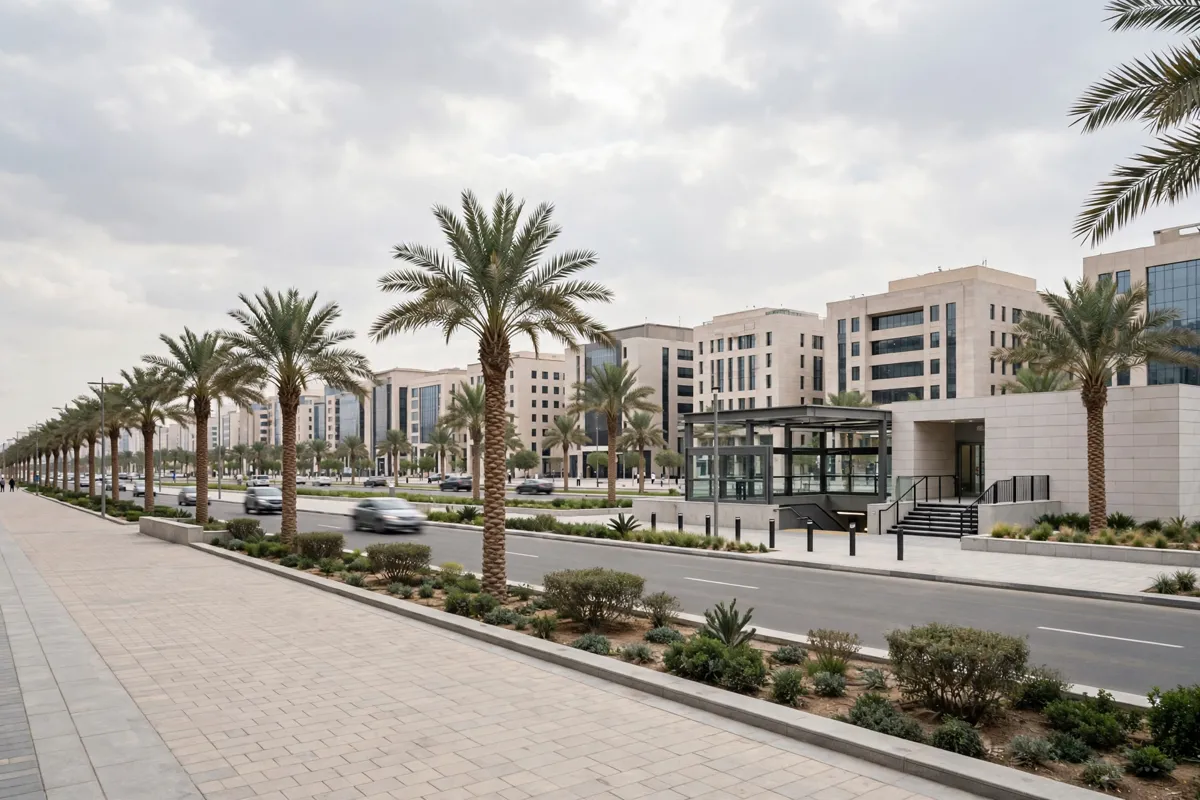
How the Riyadh Metro network is arranged
Line 2, the Red Line, runs between King Saud University and King Fahad Sport City. At Takhassussi is one of its stations, so the two endpoints give you a quick way to understand the line’s direction on a Riyadh metro map.
The Saudi Tourism Authority’s English Riyadh Metro guide includes a metro map. At Takhassussi is one of the stations shown on the map.
How do you read the map and find an interchange?
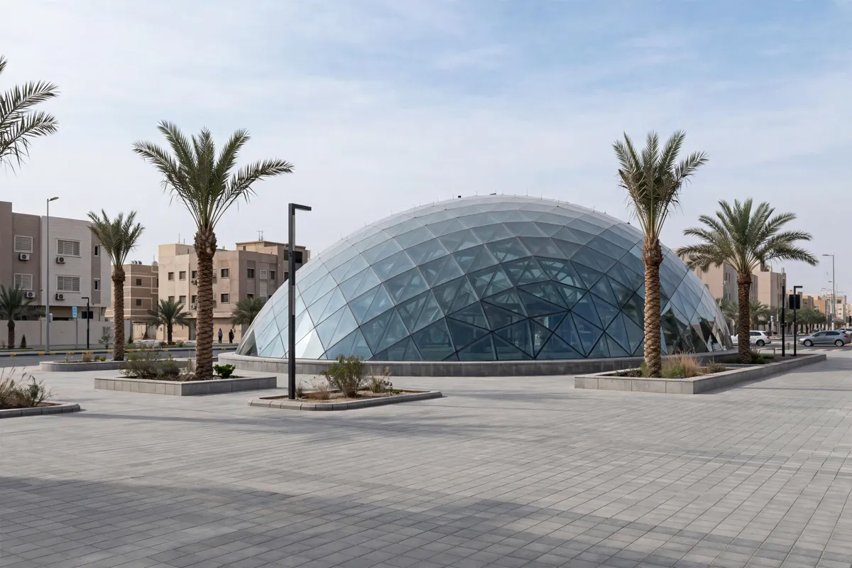
Use the station order and line names to follow a route, then look for a station where lines connect if you need to change trains. At Takhassussi is on Line 2; KACST is the station before it toward King Saud University, and stc is the next station toward King Fahad Sport City.
At stc, passengers can change between the Red and Blue lines, one stop east of At Takhassussi.
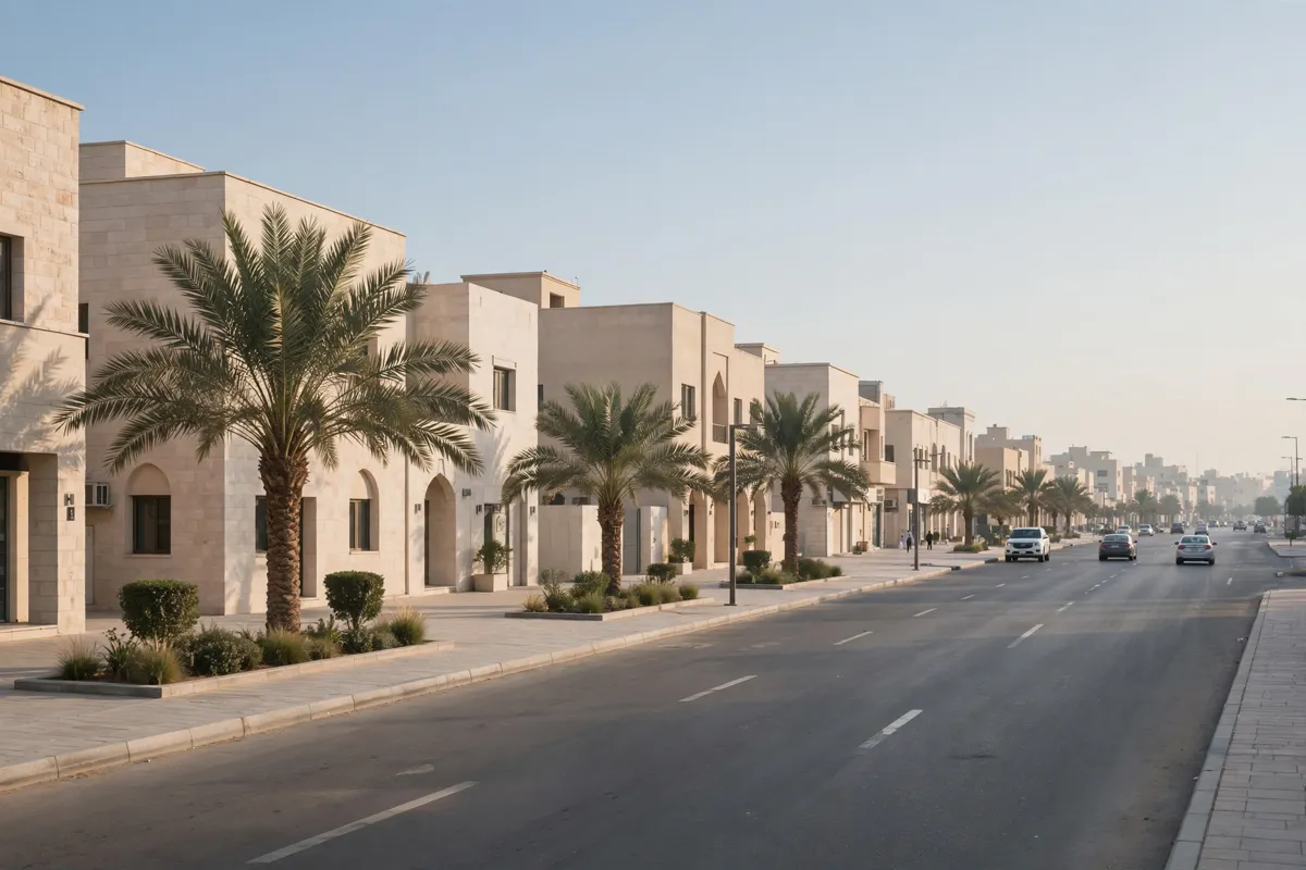
Using Khurais Road and Al Andalus from Al Rawdah
Khurais Road station is about 13 minutes by car from Towlan Al. Al Andalus is another station serving the area. A stay with a choice of aparthotel rooms gives you accommodation options in Al Rawdah.
For broader local transport context, getting around Riyadh from Al Rawdah can help with planning the first part of a trip.
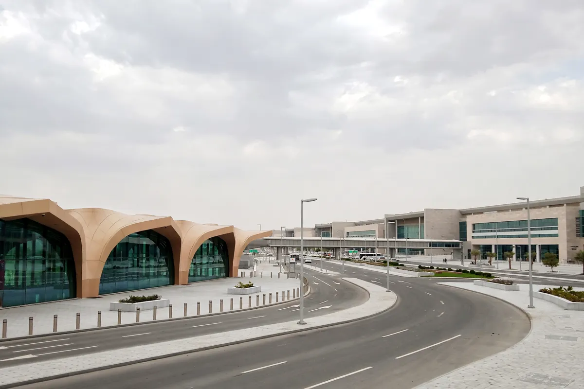
Metro connections to the airport
A journey from At Takhassussi to Airport T1–2 is estimated at 62-minute and involves two changes. Treat that as a route-planning starting point, then check the current service details before setting out.
The airport connection is by metro; for the road journey, the King Khalid International Airport transfer guide covers the trip.
Stations for central Riyadh sights
Riyadh city centre is about 22 minutes by car. A one-day Riyadh route from Al Rawdah to the historic centre offers a way to plan a day around that part of the city.
Fares, tickets and operating hours to verify
At Takhassussi has ticket vending machines where you can buy or top up a card. The station has darb-card gates, lifts, tactile guide paths, Arabic- and English-language signage, and step-free access. Audio announcements are also available.
Service hours are 05:30–00:00 Saturday through Thursday and 10:00–00:00 Friday. A SAR 4 ticket is valid for two hours on metro and buses. Ramadan and Eid hours may change, so check the official site before you go.
FAQs
Which metro line serves At Takhassussi?
At Takhassussi is on Line 2, also called the Red Line. The line runs between King Saud University and King Fahad Sport City.
Where can you change from the Red Line to the Blue Line?
You can change at stc, one stop east of At Takhassussi.
Is At Takhassussi step-free?
Yes. At Takhassussi has step-free access, lifts, tactile guide paths, and audio announcements.